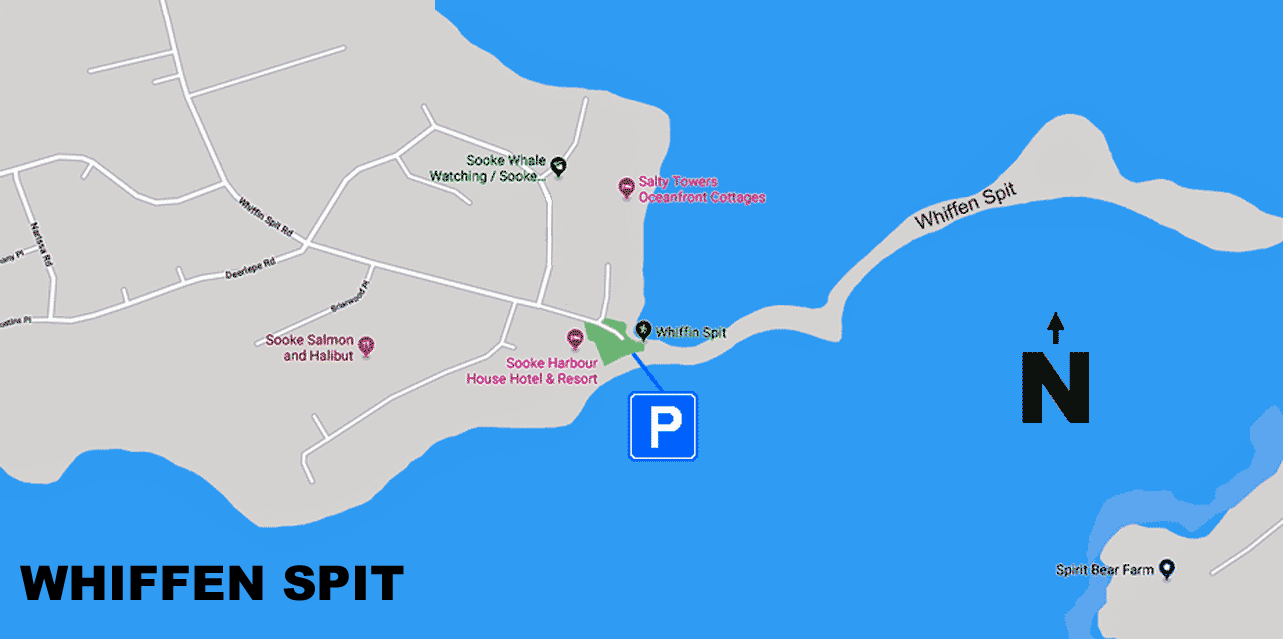
Whiffen Spit Map - There are only a few parking spots close to the start of the pathway along the Spit and they fill up fast. Additional parking may be found along the adjacent streets but please don't block any driveways to resident's homes.
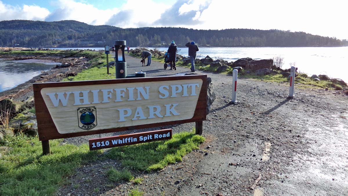
1 of 5 - This is the start of the pathway along Whiffen Spit. The drinking fountain for people and dogs was installed here in 2019. It's about a kilometre from here to the lighthouse (it's an unimpressive small cylinder with a light and fog horn on top) at the end of the spit. Note: This is a walking, jogging, and running trail only, certainly no motorized vehicles. Not even bicycles are permitted!
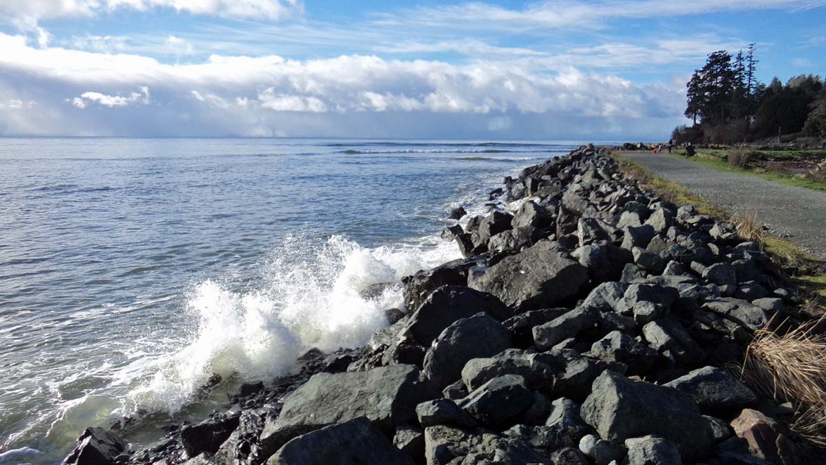
2 of 5 - Sometimes the waves are high enough to attract wet suited surfers but not on this particular day. During the winter months, when there is a high tide with the right conditions, the waves will crash right over the gravel trail depositing large boulders of as much as a foot in diameter.
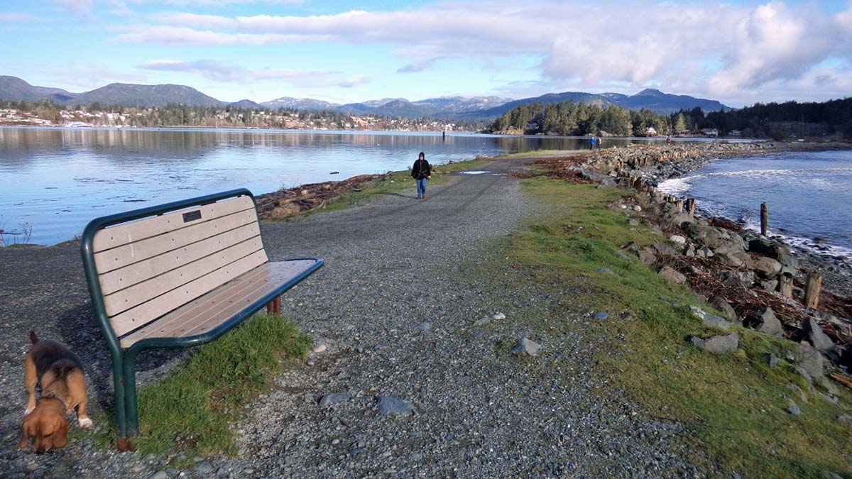
3 of 5 - Park benches are located at various positions along the pathway.
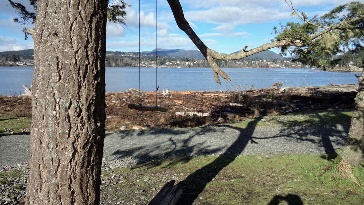
4 of 5 - Someone has created this delicate impromptu swing hanging from a fir tree about halfway along the Spit. The town of Sooke is visible across the harbour. Every year around Christmas time some unknown mysterious group sneaks out onto the Spit and decorates a fir tree to create a Christmas tree hung with the oddest ornaments that appear to have been collected from the trash.
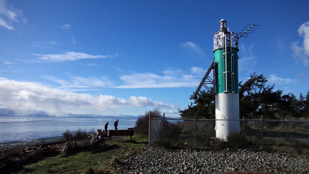
5 of 5 - This non-descript lighthouse marks the end of the Spit. While small in size the fog horn is big in volume. Any person standing close by would suffer hearing damage. For a sample blast phone the Coast Guard office in Victoria so they can demonstrate... maybe, you can always ask.
